Another Winter Storm Set to Hit Maryland Tuesday Afternoon

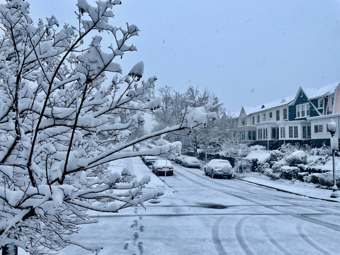
Maryland is bracing for another round of winter weather, with a significant snowstorm expected to arrive Tuesday afternoon. Snowfall is expected to begin between 2 PM and 6 PM, first hitting southwestern areas like southern Carroll and much of Howard County before spreading northeast toward the rest of Maryland. By Tuesday evening, steady snowfall will blanket the region, continuing well into the night.
Expected Snowfall & Impact
A plowable snow event is anticipated across much of Maryland, with the heaviest accumulations likely around the Baltimore Beltway and areas to the south. Here are the key points to know:
- Tuesday morning: Dry and cold conditions for everyone.
- Snow arrival: Begins between 2 PM (south & west) and 6 PM (north & east).
- Snowfall coverage: Most of central and northern Maryland will see all snow from this system.
- Accumulation forecast(subject to updates as the storm evolves):
- Northern Maryland (northern Carroll, Baltimore, Harford, and Cecil Counties): 2 to 4 inches
- Central Maryland (along I-70, Baltimore Beltway, and surrounding communities): 4 to 6 inches
- Southern Maryland (Anne Arundel, Talbot, Caroline, Kent, and Queen Anne’s counties): 5 to 7 inches
Residents should be prepared for possible school and work delays or cancellations on Tuesday, with disruptions potentially extending into Wednesday morning as road conditions remain hazardous.
RELATED: Winter Weather Guide: Tips For Staying Safe And Warm This Winter Season
Wednesday: Freezing Rain & Sleet Could Add to Travel Woes
Although the snow will taper off before sunrise Wednesday, lingering icy conditions on untreated roads may still lead to delays. Highs will struggle to climb above the lower-to-mid 30s, slowing any melting.
By Wednesday afternoon, a second wave of low pressure will push in, bringing a mix of light sleet and freezing rain, primarily impacting northern and western counties. This could create slippery conditions on untreated surfaces throughout the evening. Meanwhile, areas south and east—including Baltimore City—will mostly see rain.
Temperatures will rise above freezing late Wednesday evening, transitioning all precipitation to rain overnight into early Thursday morning.
Stay Prepared
With snow, ice, and freezing rain all in the forecast, Maryland residents should plan ahead for hazardous road conditions, possible power outages, and ongoing disruptions through midweek. Stay tuned for updates as new storm data emerges.